
"Cadastral crews now close traverses in a single visit. We cut field time by 40% and eliminated the second mobilization for control points."
Senior Surveyor
Damascus Engineering Bureau · Surveying
Syria's National GNSS Infrastructure
Subscribe to the Madix network for instant RTK corrections that power surveying, construction, agriculture and government work — activate in minutes with the receiver you already own.
Live Network Dashboard
Every CORS station is monitored 24/7 — latency, satellite visibility, correction quality and caster health.
Operational
All stations within SLA
< 25 ms
Rover to caster
2 / 8
Phase 1 — online
99.9%
Enterprise SLA
Damascus · DMS01
18 ms
LiveHoms · HMS01
22 ms
LiveAleppo · ALP01
—
SoonLatakia · LTK01
—
SoonHama · HMA01
—
SoonTartus · TRT01
—
SoonIndustries
From a surveyor in the field to a fleet of autonomous machines, the same correction stream serves the whole industry.
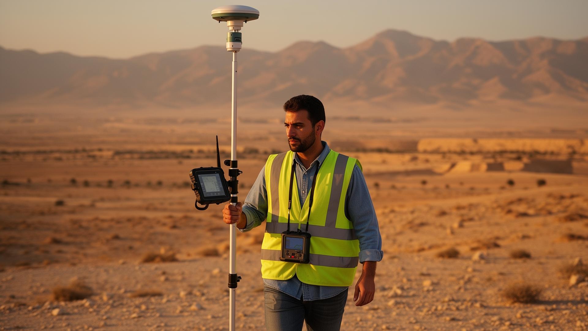
Topographic, cadastral and boundary surveys with cm-level fixes.

Site layout, stakeout and as-built positioning.

Precision farming, auto-steering and field mapping.

RTK / PPK workflows for accurate orthomosaics.
High-accuracy asset and feature data capture.
Excavators, graders and automated equipment.
Utilities, transport and city-scale projects.
Mobile mapping and reference data collection.
Compatibility
We deliver standard NTRIP / RTCM 3.x corrections compatible with every modern multi-frequency GNSS receiver. No new hardware required.
Customer Success
"Cadastral crews now close traverses in a single visit. We cut field time by 40% and eliminated the second mobilization for control points."
Senior Surveyor
Damascus Engineering Bureau · Surveying
"Stakeout that used to take a full day is done before lunch. The crew trusts the fix because the latency is consistently under 25 ms."
Site Engineer
Homs Highway Project · Construction
"Auto-steer tracks the line every pass. Overlap dropped to under 2% — that is real fuel, seed and chemical we get back every season."
Farm Operations Lead
Hama Agribusiness · Agriculture
Subscription Plans
Transparent pricing, instant activation, upgrade any time.
Single rover · surveyors & contractors
Starter
Teams · multi-rover survey & construction
Most popular
Government · utilities · machine control fleets
Custom
Why Madix Group
Reference stations operated inside Syria — not relayed from abroad.
Sub-second corrections optimized for in-country networks.
Engineering support in Arabic and English.
Redundant casters and continuous integrity monitoring.
Works with Trimble, Leica, Topcon, CHCNAV, Emlid and more.
Designed for a full national network of stations and users.
Activate in minutes
Instant activation, NTRIP credentials, and real engineering support from a local team that understands your work.